

Tsunami & Additional Hazards
In the Bay Area, the cascading effects of seismic activity include tsunami, dam failure and levee failure. Explore mapping information for tsunami evacuation areas, and an overview of risk scenarios for Bay Area dams and Delta levees. Dam and levee failures can also be caused by aged infrastructure or high-intensity rainfall events.
Tsunamis & Other Hazards: Risks and Resources
Tsunamis are potentially destructive waves resulting from seismic activity, presenting risk to Bay Area coastal regions with regulatory implications reflected in the mapping resources here. (The greatest tsunami risk in the Bay Area comes from tsunamis that are triggered by distant earthquakes, for example in Japan or Alaska, and which thus would provide hours of warning before arrival.) Seismic activity also poses threats to dams and levees, risks scenarios which may be pertinent to local hazard mitigation plans.
Tsunami
Tsunamis are unexpected ocean wave events that occur when a rapid disturbance, like underwater seismic activity, vertically displaces water, causing rapidly moving waves that can rise to great heights when they encounter the shore, resulting in loss of life and property destruction.
Tsunamis affecting the Bay Area are most likely to be generated by very distant subduction faults such as those in Washington and Alaska, but local tsunamis can be generated from strike-slip faults (such as the small one that was triggered by the 1906 earthquake). The 2011 Honshu, Japan earthquake caused tsunami damage in Santa Cruz, Crescent City and Berkeley marinas.
Regulatory zones map the areas that might be inundated in any number of tsunami scenarios, and for which evacuation strategies must be planned.
Tsunami Inundation Map for Coastal Evacuation

The “Tsunami Evacuation Zone” layer of the Hazard Viewer shows areas that could be inundated in any number of tsunami scenarios. It is an informational and regulatory resource, indicating evacuation zones for which a tsunami evacuation plan must be created. To view the map, select the “Tsunami Evacuation Zone” layer of the Hazard Viewer.
Note: This map does not represent inundation from a single scenario event. It was created by combining inundation results from a suite of possible inundation scenarios, representing the worst-case at any given location.
The SAFRR (Science Application for Risk Reduction) Tsunami Scenario

This resource depicts a hypothetical but plausible tsunami created by an earthquake offshore from the Alaska Peninsula and its impacts on the California coast. The related document presents evidence for past tsunamis, the scientific basis for the source, likely inundation areas, current velocities in key ports and harbors, physical damage and repair costs, economic consequences, environmental and ecological impacts, social vulnerability, emergency management and evacuation challenges, and policy implications for California associated with this hypothetical tsunami. For more information, visit the SAFRR (Science Application for Risk Reduction) Tsunami Scenario.
Dam Failure
In the Bay Area, aging dam infrastructure presents potential, catastrophic risks to downstream people and structures and to the Bay Area water supply. When dams are known to have failure potential, their water level is reduced to allow for partial collapse without loss of water, as required by the State Division of Safety of Dams. This loss of storage capacity presents its own, ancillary risk to Bay Area water supplies.
There has never been a catastrophic dam failure in the Bay Area. However, most older dams built in the Bay Area were built without the benefit of current seismic engineering standards. Some of the region’s largest dams have completed retrofits or been entirely reconstructed to address seismic deficiencies.
Dam Inundation Map Viewer
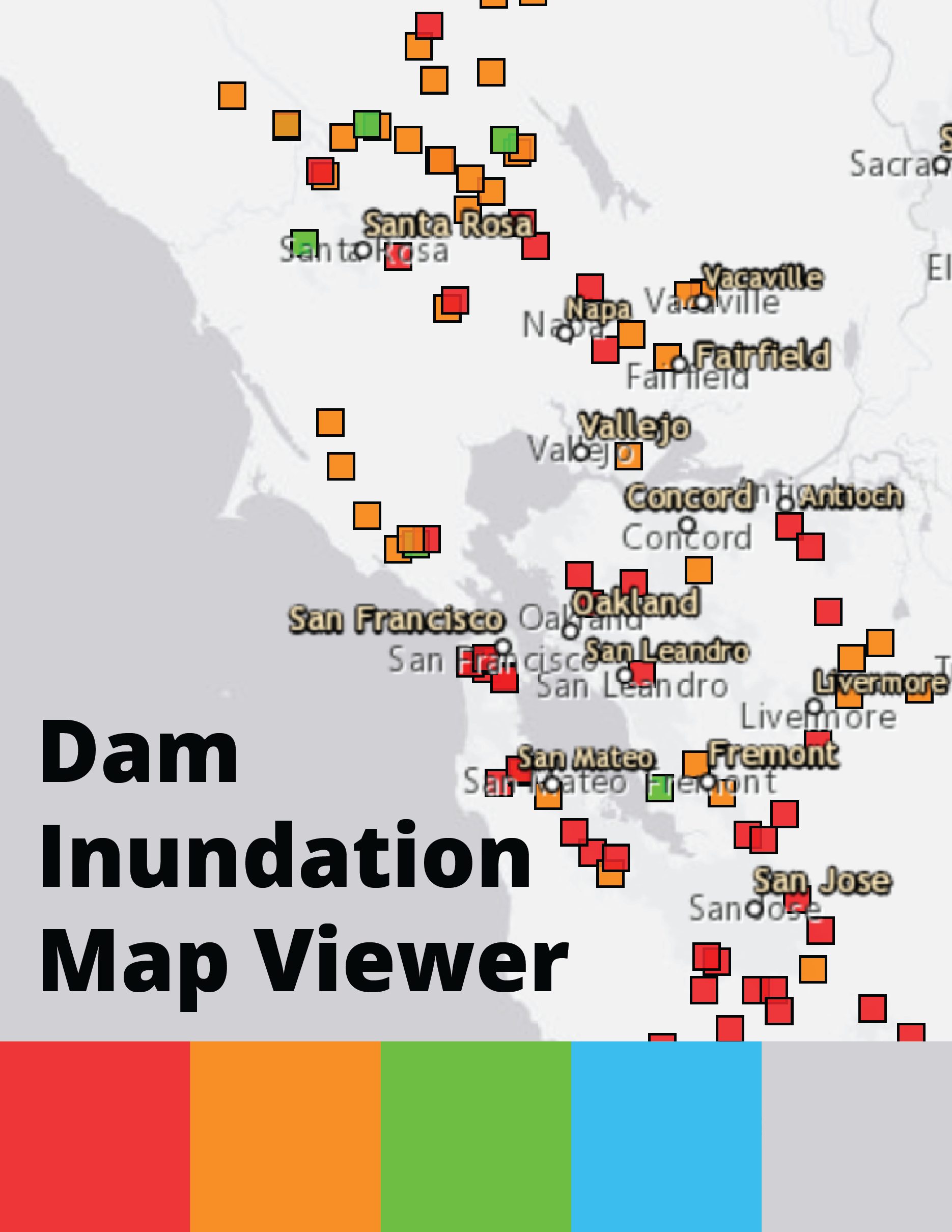
Following the 2017 Oroville Dam spillway failure, state legislators required all significant dams to develop inundation maps and emergency action plans. The DWR, DOSD allows users to view approved inundation maps for dozens of Bay Area dams and track which dams have yet to receive approved maps. For dams with approved maps, users can download the inundation shapefile and associated files directly from the viewer.
Levee Failure
Levees along the banks of the Sacramento-San Joaquin Delta and Suisun Marsh areas face the threat of failure in a major seismic event affecting the greater Bay Area, particularly from an earthquake scenario involving the Hayward Fault, or other faults, including the Concord and Green Valley faults.
Much of the land in the Delta region is below sea level and is protected by approximately 1,115 miles of levees in the Delta and 230 miles of levees in the Suisun Marsh. The failure of these levees, while outside of the nine-county Bay Area, could result in significant and prolonged impact on Bay Area and Southern California water supplies, a scenario for which planning and mitigation may prove pertinent.
