Credit: Peter Beeler
Maps
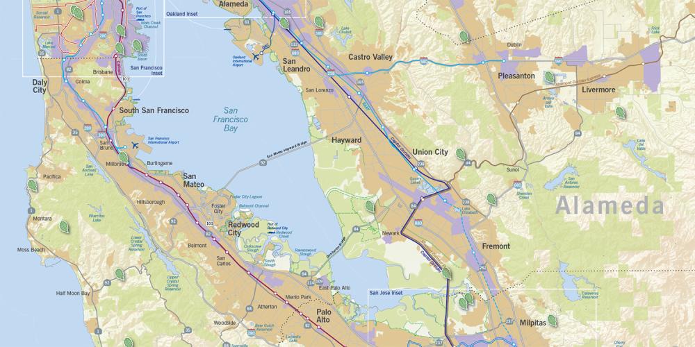
Our maps help you discover the Bay Area by foot, bike or boat. Connect with these maps to connect to our region and so many amazing possibilities.
Bay Trail Map
Find a walk on more than 355 miles around the Bay. See the map on mtc.ca.gov.
Water Trail Map
Over 500-square miles of navigable waters are waiting for you. See the map on sfbaywatertrail.org.
Map of the Month
Maps explaining important trends and much, much more. (Last updated February 2019.)
PCA Maps & Designations
Visit the Plan Bay Area website and view the Statutorily Required Plan Maps to see the open spaces designated as Priority Conservation areas (PCAs).

