Data & Research
ABAG’s Resilience Program brings together the best available data for the regionally relevant natural hazards that Bay Area residents and local governments should be thinking about for the purposes of mitigation, policy and planning.
Curated Data for Bay Area Hazards
Resilience begins by understanding the environment we’re in. Since the 1980s, when we launched the first-of-their-kind shaking hazard maps for the Bay Area, the Resilience Program has been curating the best available data on regionally relevant natural hazards, bringing together resources that would otherwise be dispersed across over a dozen different state and federal agencies’ sites. We ensure that all the data we post is current and updated annually.
The Bay Area is the beneficiary of continued investment in science and hazard mapping, providing us with good information to make risk-based decisions. These pages represent the universe of hazards residents and local governments need to consider for the purposes of planning, mitigation and policy.
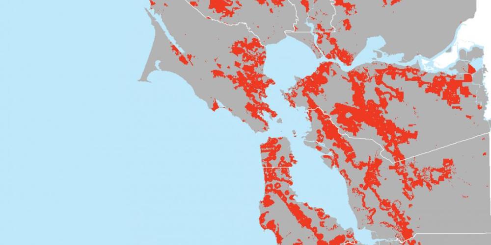
Many of our resources are mapping tools, including the multi-layer Hazard Viewer, and for many of our resources, we provide links to downloadable data sets for further analysis on GIS platforms. Of the many resources available across state and federal agencies, we have presented the tools we believe are most useful for informational and regulatory purposes, with links to resources for planning and policy.
Open Data Catalog (GIS Data)

A complete set of downloadable GIS hazard data.
San Francisco Bay Area Risk Profile 2017
This 2017 document provides a detailed hazard characterization of all Bay Area hazards. It provides a global overview of the material presented in detail in the hazard-specific pages of the Data & Planning section, including:
- Earthquake
- Landslide
- Flood
- Wildfire
- Drought
- Extreme Heat
- Tsunami and Other Hazards


