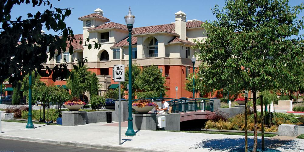
Priority Development Areas (PDAs) are places near public transit that are planned for new homes, jobs and community amenities. By bringing transit, jobs and housing together, PDAs help the Bay Area reduce greenhouse gas emissions and begin to solve the region’s housing crisis.
PDAs located within walking distance of rail stations, ferry terminals and frequent bus stops are designated as Transit-Rich. PDAs that offer basic transit services and have committed to policies that increase mobility options and reduce automobile travel are designated as Connected Communities. For detailed information about PDA criteria and the designation process, visit the PDA web page.
The Metropolitan Transportation Commission (MTC) funds planning for Connected Community PDAs and prioritizes discretionary funds for transportation infrastructure projects to support growth in these areas through the One Bay Area Grant (OBAG) program.
Requirements to Qualify as a Connected Community PDA
All PDAs must be nominated by a local government with land use authority, located within an existing urban area, and planned for significant housing growth and/or housing and employment growth. Additionally, Connected Community PDAs must meet at least one of the following criteria:
- At least 50% of the area is defined as High Resource or Highest Resource on the most recent Opportunity Map adopted by the California Department of Housing and Community Development
- By 2026, complete one of the Vehicle Miles Traveled (VMT) reduction pathways shown below
VMT Reduction Pathways
Two options are available for Connected Community PDAs to meet the VMT reduction policy requirement.
Option A achieves VMT reductions through requirements on new development projects to implement VMT-reducing measures and fund VMT-reducing infrastructure projects. Option B achieves VMT reductions through the identification of priority active transportation projects and preparation for competitive funding grants. Additional details regarding the elements required for each of the policies can be found below.
Option A
- Parking and Transportation Demand Management (PTDM) Policy – An ordinance or policy applying to new development projects that requires implementation of measures encouraging residents, employees and visitors to reduce driving alone.
- Vehicle Miles Traveled (VMT) Fee – A transportation impact or in-lieu fee program funding a list of improvements that are explicitly and quantitatively associated with VMT reductions.
Option B
- Local Road Safety Plan (LRSP)/Vision Zero Action Plan (VZAP) – A plan that uses a system-wide, data-driven analysis of collisions to generate a prioritized list of issues, risks and countermeasures that can be used to reduce fatalities and serious injuries on local roads, with an emphasis on bicycle and pedestrian safety.
- Bicycle and Pedestrian Infrastructure Action Plan (BPIAP) – A near-term implementation plan for high-priority bicycle and pedestrian improvements that identifies the timeline and path forward to bring these projects to construction within the next one to three years.

