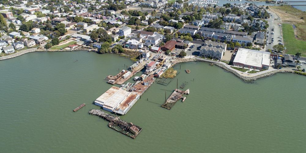
The Adapting to Rising Tides (ART) Program is working with local, state, regional and federal agencies and organizations to gather, develop and analyze the data needed to understand the impacts of a changing climate on Bay Area communities, infrastructure, services and natural resources.
Each ART Program project has a rich repository of data, maps and analysis about the many assets, asset categories and sectors evaluated. Below are the currently available geospatial data and mapping products created by the ART Program focused on community vulnerability to flood.

