

These custom-crafted maps are developed by ABAG and MTC’s mapmakers who turn data into art to tell compelling stories about important trends in the Bay Area, across the nation and around the world.
April, 2010
Walkability Index
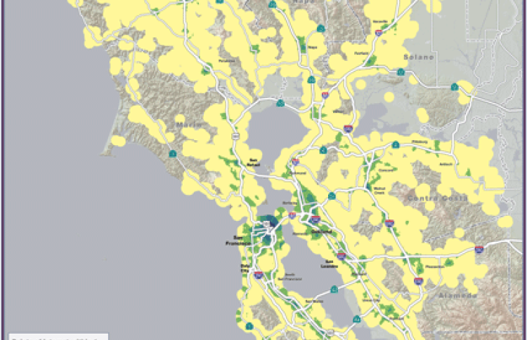
The map of the month shows the overall walkability of the Bay Area based on proximity to points of interest (POIs). POI categories considered for the analysis included educational institutions and libraries, health services, parks, retail, dining and entertainment. The walkability index was then created based on how many POIs could be found within 1 mile of any given street intersection.