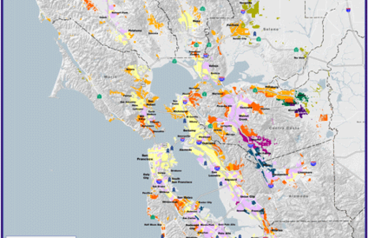
These custom-crafted maps are developed by ABAG and MTC’s mapmakers who turn data into art to tell compelling stories about important trends in the Bay Area, across the nation and around the world.

Daily Trips And Distance Traveled To Major Employment Centers
This month's map shows the number of daily individual trips to major employment centers around the Bay area, as well as the distances commuters are traveling to reach those destinations. The overall pattern shows that employees in the Bay area tend to live closer to their places of employment. Some areas, like Brentwood and Antioch, have a large number of commuters traveling a pretty significant distance by car in order to reach their places of employment. The major employment centers constitute the 25 largest employment centers in the Bay area based on the number of employees. The commute analysis was conducted at the TAZ level.

