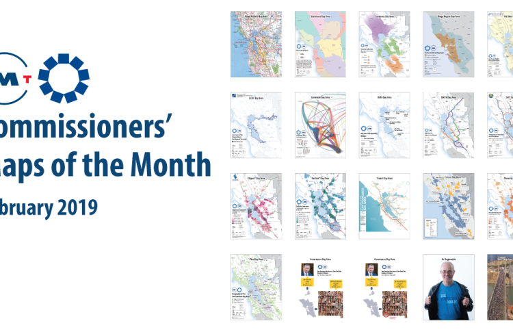
These custom-crafted maps are developed by ABAG and MTC’s mapmakers who turn data into art to tell compelling stories about important trends in the Bay Area, across the nation and around the world.

Commissioners' Map of the Month
February’s collection of 17 maps, when presented together, tells a story of why regional action matters. Ranging from a Rand McNally-style roadway map and a regional transit map to a commute flow diagram and a diversity index, each map shows the viewer a geography of the region that differs and changes based upon the particular subject being considered or particular policy that is being confronted. In many cases, city and county boundaries do not matter, as the spatial units that are in focus can be much larger (air shed) or much smaller (priority development areas). Instead, these maps and their varying scales of interest emphasize the need to work together and to plan regionally and mega-regionally.

