The Adapting to Rising Tides (ART) Bay Shoreline Flood Explorer and associated analyses provide a regional-scale illustration of bay shoreline flooding due to specific sea level rise and storm surge scenarios. This resource includes a mapping tool and downloadable data sets. These resources are intended to improve sea level rise awareness and preparedness.
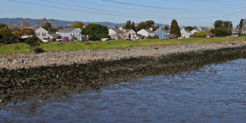
This resource focuses on flooding inside the San Francisco Bay and does not include the Pacific coast west of the Golden Gate Bridge. The separate East Contra Costa Shoreline Flood Explorer provides mapping for Eastern Contra Costa County.
It is a product of The Bay Conservation Development Commission ART program.


