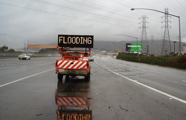
The Association of Bay Area Governments has online resources on flooding, which various parts of the region have experienced with the recent series of powerful storms. A hazard map is one of the data pieces.
In the Bay Area, winter storms and sea-level rise represent significant flood risks. Mapping resources indicate regulatory zones around flood hazard, and reflect some of the latest research in the rapidly growing field of climate-related flood risk.
Flooding associated with severe storms has been among the most common hazards in the Bay Area during the period from 1950 onward, occurring nearly annually. Often-heavy rainfall brings many areas of localized flooding, especially in low lying areas.
Flood hazards include:
- Flooding associated with floodplains, ranging from narrow, confined channels in the steep valleys of mountainous and hilly regions to wide, flat areas in valley and coastal regions;
- Nuisance flooding caused by heavy precipitation/storm water in flat, low-lying, urbanized areas, resulting in inundation of basements, low-lying roads, and parking lots from street drainage;
- Coastal flooding associated with Pacific Ocean storms;
- Sea level rise.

